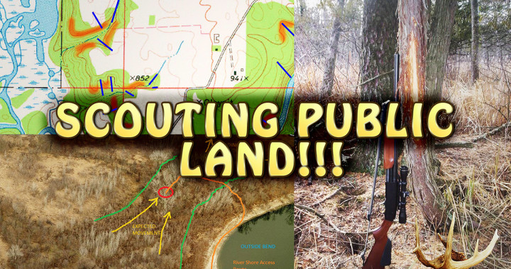
Scouting for deer on public land can seem like a daunting task. For many hunters, the idea of scouting is walking on public access trails or deer trails aimlessly until they find deer sign a week before the season, oblivious to the "big picture" of deer patterns or how hunter pressure has been affecting the land. With this video, I hope to shed some light on my process of scouting efficiently. By getting the most of your time in the woods, you can cut years of experience off of the time it takes to really learn what's going on in an area.
-Wind Statistics
http://www.windfinder.com/forecasts/#4/51.40/9.62
-CalTopo Aerial and Topo Maps
http://caltopo.com
-Google Earth
http://www.google.com/earth/
-Bing Maps (click on Bird's Eye)
http://www.bing.com/maps/
-MN WMA maps for Google Earth (click on "WMA Boundaries")
http://www.dnr.state.mn.us/wmas/index.html
-WI Private Forest Lands Open for Public Use
http://dnrmaps.wi.gov/opfl/
-WI Voluntary Public Access Program
http://dnr.wi.gov/topic/lands/VPA/
-"The Hunting Beast" Forum
http://thehuntingbeast.com/